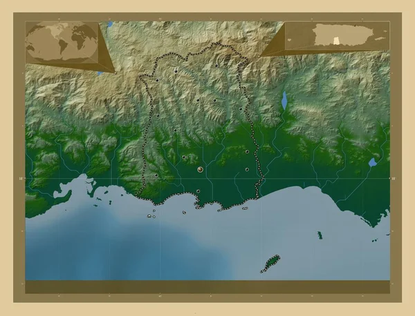
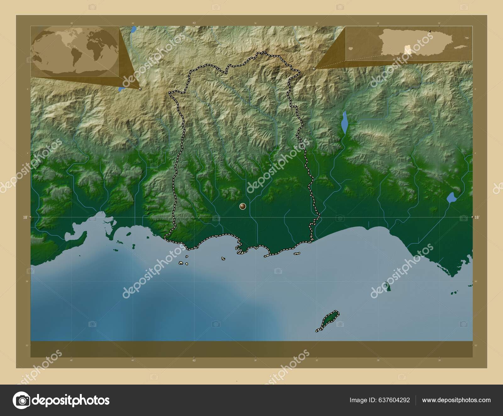
Ponce Municipality Puerto Rico Colored Elevation Map Lakes Rivers Corner — Φωτογραφία Αρχείου

Ponce, municipality of Puerto Rico. Colored elevation map with lakes and rivers. Corner auxiliary location maps — Εικόνες αρχείου

Ponce, municipality of Puerto Rico. Colored elevation map with lakes and rivers. Corner auxiliary location maps

 — Εικόνα από Yarr65

Ίδια Σειρά:

Ponce, municipality of Puerto Rico. Colored elevation map with lakes and rivers. Locations of major cities of the region. Corner auxiliary location maps
Ponce Municipality Puerto Rico Colored Elevation Map Lakes Rivers Locations — Φωτογραφία Αρχείου
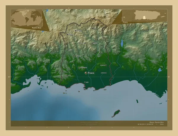
Ponce, municipality of Puerto Rico. Colored elevation map with lakes and rivers. Locations and names of major cities of the region. Corner auxiliary location maps
Ponce Municipality Puerto Rico Colored Elevation Map Lakes Rivers Locations — Φωτογραφία Αρχείου
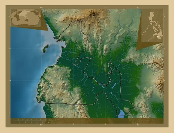
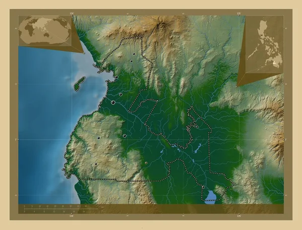
Maguindanao, province of Philippines. Colored elevation map with lakes and rivers. Corner auxiliary location maps
Maguindanao Province Philippines Colored Elevation Map Lakes Rivers Corner Auxiliary — Φωτογραφία Αρχείου
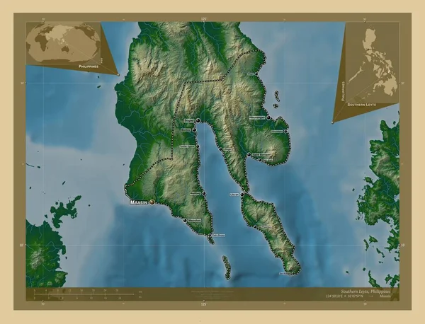
Southern Leyte, province of Philippines. Colored elevation map with lakes and rivers. Locations and names of major cities of the region. Corner auxiliary location maps
Southern Leyte Province Philippines Colored Elevation Map Lakes Rivers Locations — Φωτογραφία Αρχείου
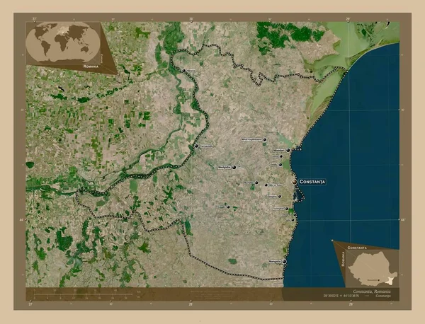
Constanta, county of Romania. Low resolution satellite map. Locations and names of major cities of the region. Corner auxiliary location maps
Constanta County Romania Low Resolution Satellite Map Locations Names Major — Φωτογραφία Αρχείου
Maguindanao, province of Philippines. Colored elevation map with lakes and rivers. Locations of major cities of the region. Corner auxiliary location maps
Maguindanao Province Philippines Colored Elevation Map Lakes Rivers Locations Major — Φωτογραφία Αρχείου
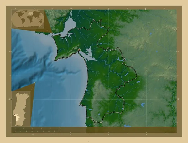
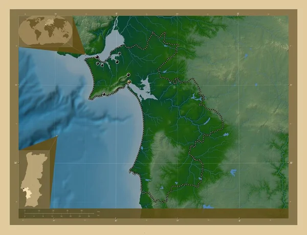
Setubal, district of Portugal. Colored elevation map with lakes and rivers. Corner auxiliary location maps
Setubal District Portugal Colored Elevation Map Lakes Rivers Corner Auxiliary — Φωτογραφία Αρχείου
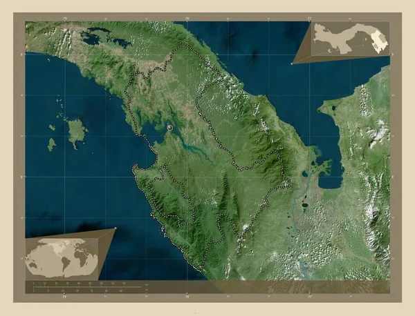
Darien, province of Panama. High resolution satellite map. Corner auxiliary location maps
Darien Province Panama High Resolution Satellite Map Corner Auxiliary Location — Φωτογραφία Αρχείου
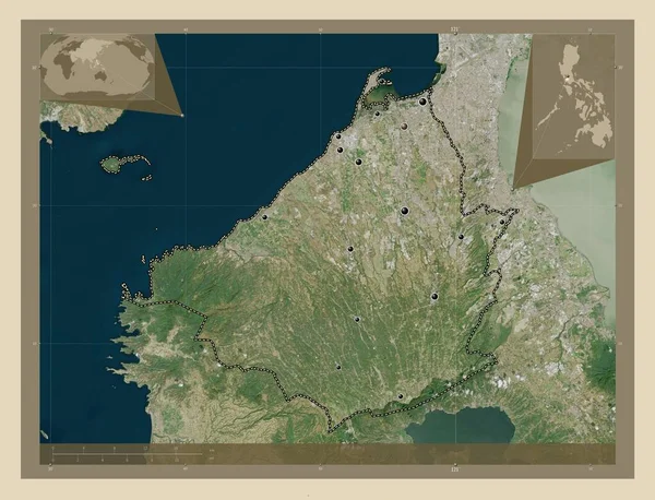
Cavite, province of Philippines. High resolution satellite map. Locations of major cities of the region. Corner auxiliary location maps
Cavite Province Philippines High Resolution Satellite Map Locations Major Cities — Φωτογραφία Αρχείου
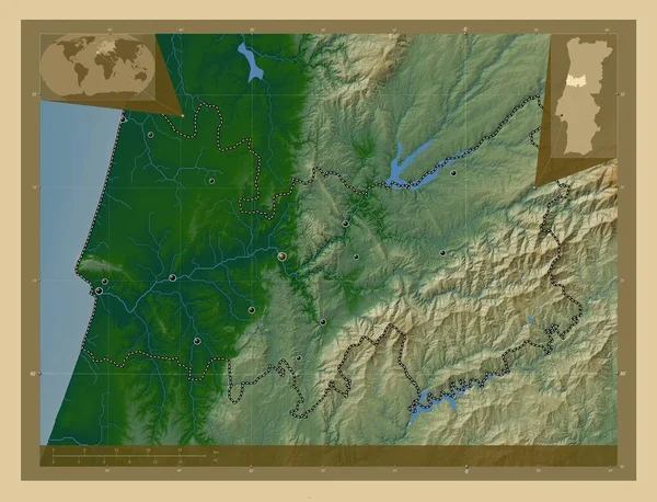
Coimbra, district of Portugal. Colored elevation map with lakes and rivers. Locations of major cities of the region. Corner auxiliary location maps
Coimbra District Portugal Colored Elevation Map Lakes Rivers Locations Major — Φωτογραφία Αρχείου
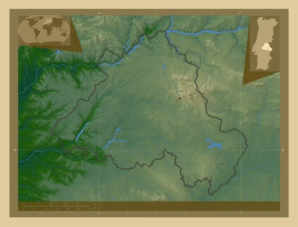
Portalegre, district of Portugal. Colored elevation map with lakes and rivers. Corner auxiliary location maps
Portalegre District Portugal Colored Elevation Map Lakes Rivers Corner Auxiliary — Φωτογραφία Αρχείου
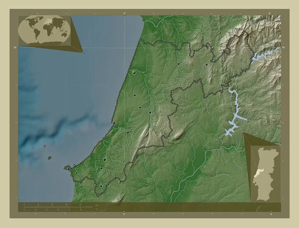
Leiria, district of Portugal. Elevation map colored in wiki style with lakes and rivers. Locations of major cities of the region. Corner auxiliary location maps
Leiria District Portugal Elevation Map Colored Wiki Style Lakes Rivers — Φωτογραφία Αρχείου
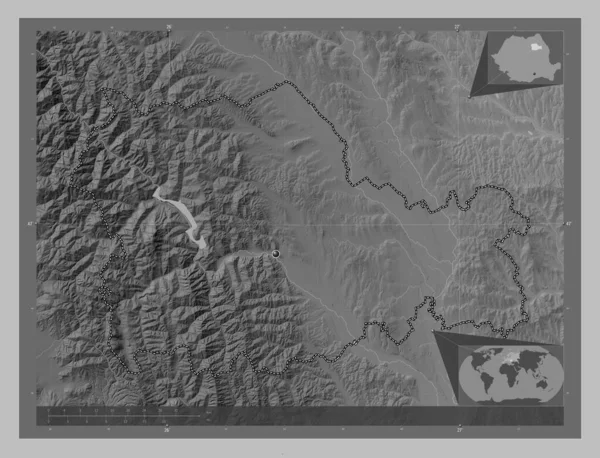
Neamt, county of Romania. Grayscale elevation map with lakes and rivers. Corner auxiliary location maps
Neamt County Romania Grayscale Elevation Map Lakes Rivers Corner Auxiliary — Φωτογραφία Αρχείου
Setubal, district of Portugal. Colored elevation map with lakes and rivers. Locations of major cities of the region. Corner auxiliary location maps
Setubal District Portugal Colored Elevation Map Lakes Rivers Locations Major — Φωτογραφία Αρχείου
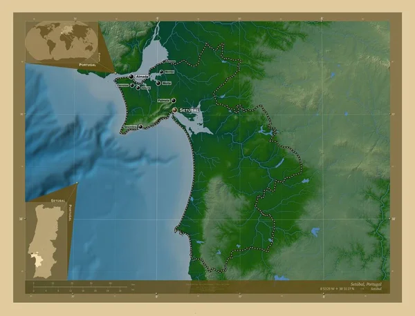
Setubal, district of Portugal. Colored elevation map with lakes and rivers. Locations and names of major cities of the region. Corner auxiliary location maps
Setubal District Portugal Colored Elevation Map Lakes Rivers Locations Names — Φωτογραφία Αρχείου
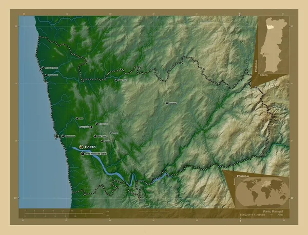
Porto, district of Portugal. Colored elevation map with lakes and rivers. Locations and names of major cities of the region. Corner auxiliary location maps
Porto District Portugal Colored Elevation Map Lakes Rivers Locations Names — Φωτογραφία Αρχείου

Πληροφορίες Χρήσης

Μπορείτε να χρησιμοποιήσετε αυτή τη royalty-free φωτογραφία "Ponce, municipality of Puerto Rico. Colored elevation map with lakes and rivers. Corner auxiliary location maps" για προσωπικούς και εμπορικούς σκοπούς σύμφωνα με την Τυπική ή την Εκτεταμένη Άδεια. Η Τυπική Άδεια καλύπτει τις περισσότερες περιπτώσεις χρήσης.\nΣυμπεριλαμβάνονται διαφημίσεις, σχέδια διεπαφής χρήστη και συσκευασία προϊόντων, και επιτρέπονται έως και 500.000 έντυπα αντίγραφα. Η Εκτεταμένη Άδεια καλύπτει όλες τις περιπτώσεις χρήσης βάσει της Τυπικής Άδειας με απεριόριστα δικαιώματα εκτύπωσης και σας επιτρέπει να χρησιμοποιείτε τις ληφθείσες εικόνες σε εμπορεύματα, για μεταπώληση προϊόντων ή δωρεάν διανομή.

Μπορείτε να αγοράσετε αυτήν τη φωτογραφία και να την κατεβάσετε σε υψηλή ανάλυση έως και 4930x3770. Ημερομηνία μεταφόρτωσης: 28 Ιαν 2023